
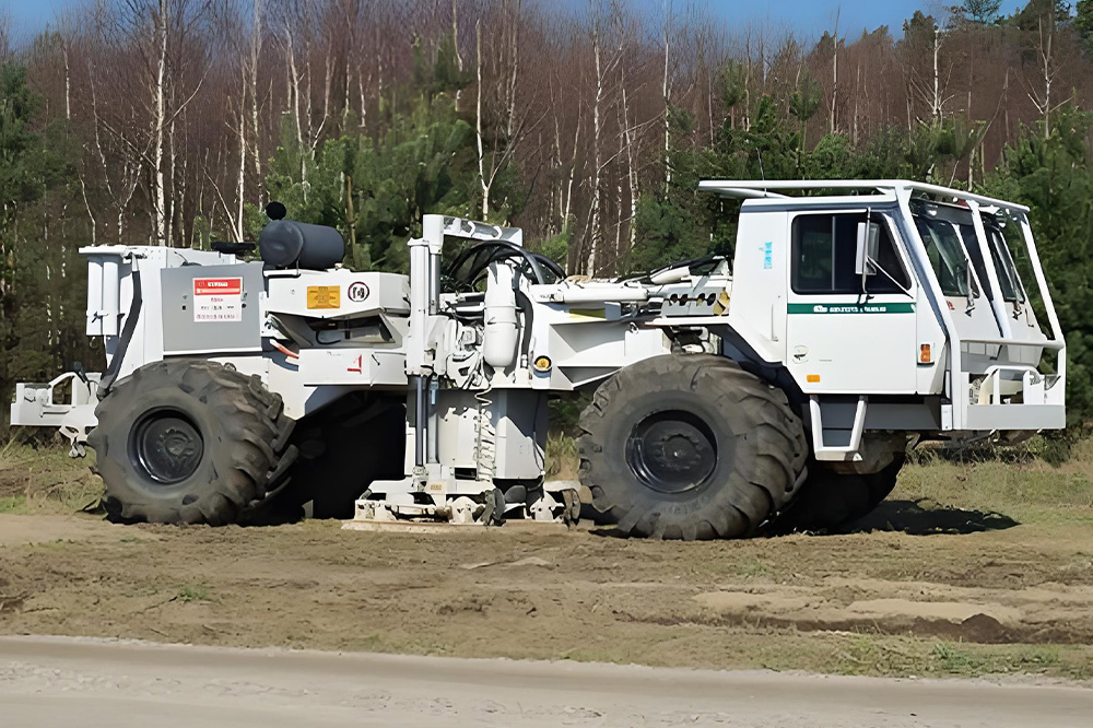
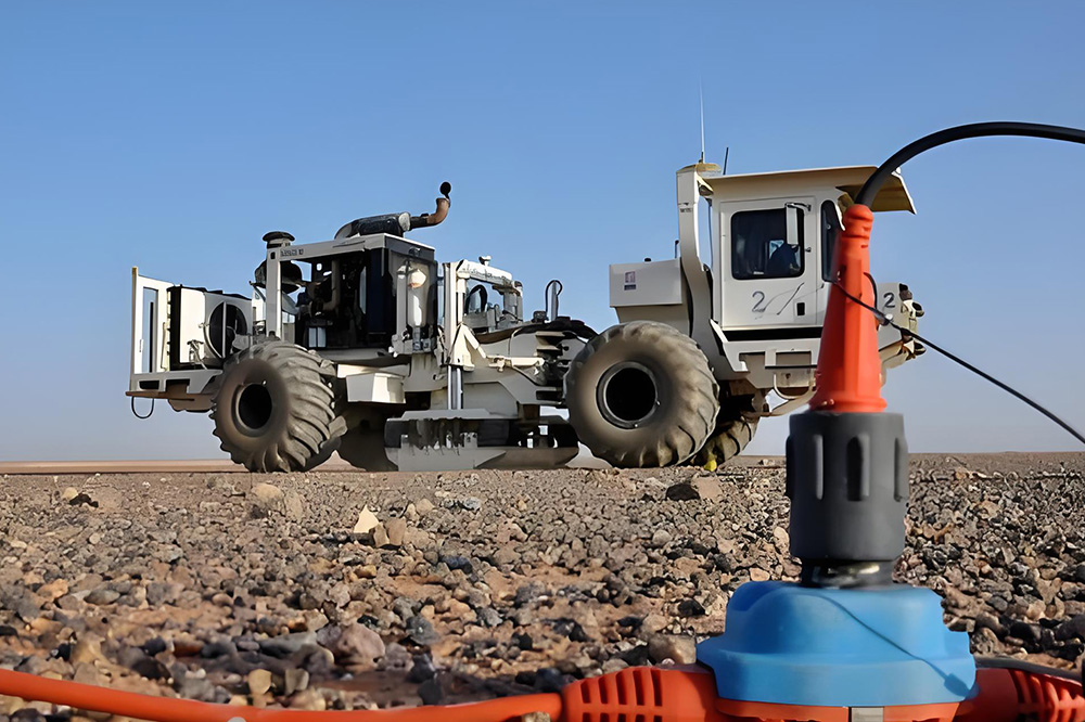
On land, a full suite of geophysical techniques is adopted, including seismic exploration (active-source 2D/3D/4D seismic and passive-source microseismic), gravity survey, magnetic survey, electrical survey, and magnetotelluric sounding. Subsurface signals are acquired via artificial excitation or natural field sources. Physical property contrasts of various rock formations and ore bodies are analysed in terms of wave velocity, density, magnetism, resistivity and elastic parameters.
Three core workflows — field data acquisition, indoor data processing and integrated geological interpretation — enable the delineation of subsurface structural geometries, fault systems, reservoir distribution, hydrocarbon accumulations, and the occurrence of coal, metallic and non-metallic mineral resources. The methods also map geothermal water and aquifer systems, and detect geological hazards such as karst features and mined-out cavities. The outcomes deliver scientific foundations for oil-gas and mineral exploitation, underground gas storage site selection and safety monitoring, foundation assessment for engineering construction, geological hazard mitigation, and urban-rural planning.
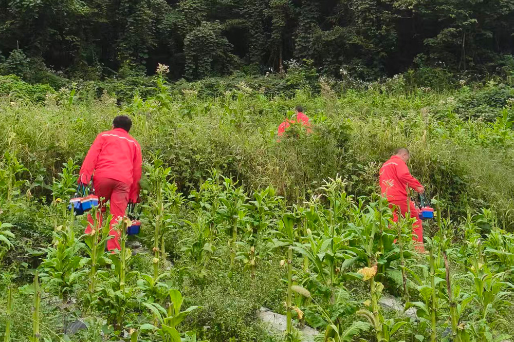
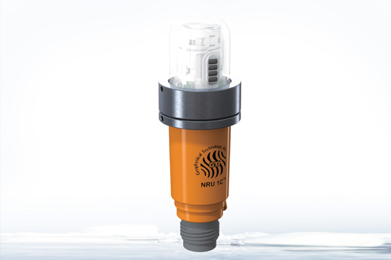
Seismic exploration mainly adopts cabled and nodal seismic acquisition systems equipped with various high-sensitivity geophones to realize high-density 3D seismic data acquisition. The equipment features portability, excellent water resistance, low humidity tolerance, convenient operation and high data quality, and can meet the operational deployment requirements under different environments.
We provide integrated services covering design, acquisition, processing and interpretation, including technical services for the whole or partial processes such as nodal equipment leasing with on-site technical support, layout design, on-site technical support for artificial source excitation, and 3D seismic data acquisition. We can deliver 3D seismic data as required by customers, and provide various follow-up technical services including data processing, interpretation and achievement report compilation.
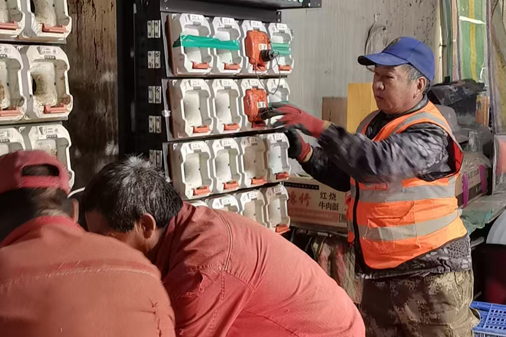
For the key supplementary exploration project targeting the activation of shallow buried multiple coal seams and old goafs at Yangjiacun Coal Mine of Inner Mongolia Shuangxin Mining, our company adopted a customized solution of "wireless node high-density acquisition + multi-source data dynamic fusion + whole-process on-site service", achieving three breakthroughs in geological exploration accuracy, efficiency and practicality, setting a benchmark for supplementary exploration under complex geological conditions in the coal industry. We accurately identified 34 faults and multiple water-rich zones, revised the coal seam floor contour lines, supported safe excavation with "zero accidents" in 6 working faces, and saved over 20 million yuan in costs, establishing a new industry benchmark for exploration.
 Explore the Earth
Customer-centric, technology for good, teamwork, co-creating value. Innovation-driven, pursuit of excellence, integrity and responsibility, sustainable development.
The 4th Floor, Building C, Haike Entrepreneurship Center, Aoshanwei Sub-district, Jimo District, Qingdao City
Online Navigation
Business Consultation
0532-67720136
Corporate Email
info@phoenixtek.com.cn
© 2025 Qingdao Phoenix Technology Co., Ltd. All rights reserved 备案号:鲁ICP备2025201385号-1 技术支持:力丰网络